Brussels is located in Belgium and it is the capital city of this country, but also from Europe! Belgium is a little country at the heart of Europe. The neighboring countries of Belgium are the Netherlands at the north, Germany at the east, Luxembourg at the southeast, France at the south and at the west, and finally the North Sea borders Belgium on the northwest.
Belgium is split in two with at the north the Flemish Region and at the south the Walloon Region. The country has a third region, the Brussels Capital Region. Brussels is approximately in the center of Belgium, but totally surrounded by the Flemish region. The border with the Walloon Region is only at 2 km (1.25 mi) at the south from the Brussels Capital Region.
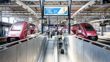
Because of its central position in Europe, some big European capitals are near Brussels and very easy to reach by train. Amsterdam, the capital of the Netherlands, is only 200 km (125 mi) at the north of Brussels and only at 2 hours with the Thalys from Brussels. The capital of France is even quicker to reach. Even though that Paris is further with about 275 km (170 mi) to the southwest, it only takes around 1 hour and 30 min with the High Speed Train.
Even more surprisingly, London is also easy to reach from Brussels. Indeed, a tunnel links the United Kingdoms with France. And it allows to link directly Brussels with London by a High Speed Train. With the Eurostar, you will only take 2 hours and 15 minutes to go from the center of Brussels to the Center of London. Finally, Luxembourg is only 215 km (135 mi) to the southeast of Brussels. But there is no High Speed Train connecting the two cities. It will take you around 3 hours and 30 min by train to join Luxembourg from Brussels.
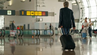
The train distance makes it very easy and fast to travel from one city to another. And because of its central location, Brussels is the perfect spot to plan the visit of some main European capitals.